Driving radius maps help businesses and organizations make informed decisions, save time, and bring forward visualization from data. For most, the driving radius map offers time-saving assets and efficiency to companies wanting a competitive advantage.
The Difference Between a Typical Radius Versus Distance Radius
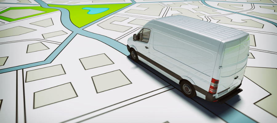
The standard radius map uses a central location on a map and allows the user to determine an outside boundary from that location. The border is a physical distance away and shows the results as a circle, regardless of outside influence. A driving radius map will use a physical boundary like time or driving distance as the outer boundary on a map. The radius shows as a polygon, specific to all outside information.
Driving radius maps combine GIS software with real-time specifics to bring intuitive details about specific distances between two points. The details often correlate between a central point and any outside parameter (defined as the radius on a map). To clarify, multiple factors influence these results, including speed limits, physical distance, local traffic, and construction. Depending on the results, a driving radius displays as a circle for distance or as a polygon for duration or time maps.
For instance, a company establishing new sales territories could set a radius map within 50-miles from the current office location. Previous customers within the area will show under the circle map. A business wanting to optimize sales tactics would use the polygon function to determine the best routes for sales teams. These efforts highlight outside factors on results overall, including:
Distance in Real-Time
Adjust the physical distance in real-time using proximity tools. Factors like traffic and construction will directly influence current boundaries and limitations. In addition, users can manually adjust the physical location according to real-time influence with a driving radius map.
Sales Territory Review
Optimized territories can directly influence account management. Using driving radius maps, users can determine appropriate service areas according to the polygon drive-time maps. Moreover, all places within a specified time will highlight on the map, giving a clear indication of proper territory management.
Optimal Office Locations
As an employee’s commute will directly influence office morale and productivity, choosing an appropriate location will affect your company’s overall success. Drive time mapping will determine optimal commute times, offer traffic insights, and establish relevant sites through the software.
Overlap Multiple Radius Circles
Integrating multiple circles on the map can bring a business more profound understanding and information. For example, some mapping software will integrate multiple radius points within a map, showing high-density areas or territory overlap. Maptive allows multiple radius circles around a single location marker, providing deeper analysis for competitive advantage.
Determine Supply Chain Optimization
In general, one of the easiest ways to enhance your company’s distribution is direct optimization. Business owners can use driving radius maps to establish the most efficient routes from a central location, complete with maximized coverage and optimal distances between buildings.
Optimize Delivery Routes
Whether you’re looking to improve consumer delivery or trying to arrange logistics, mapping software can enhance route planning efforts by establishing ideal travel between locations. Enter the points within a map and set up the drive time polygon—select route optimization under the mapping software to develop an optimized schedule of locations throughout the day.
Considerations When Using Mapping Software
Using the driving map radius is critical for additional information, but not all mapping software is created equal. Ensure the third-party software uses real-time data, giving your company a competitive advantage. Likewise, use software that integrates multiple radius circles for optimal results.
Cloud-based software offers facilitated access from anywhere in the world. For instance, staff and employees can use the application from a personal computer or a smartphone on the go. The cloud-based operation keeps all maps and data current and accessible, even on the road.
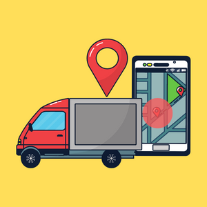
GPS Fleet Management
A good time to consider using mapping software is for fleet management. Businesses use fleet management software to better manage and track the vehicles in their fleet while they are on the road. Typically, when using GPS tracking devices, the location information can be relatively accurate within a three-meter radius
Features:
- Manage Fleet Remotely
- Improve Driver Safety
- Route Optimization
- Real-Time Map
- And More!
Driving Radius Maps Keep Businesses Connected to Information
Reviewing data is critical for any business model, mainly as the brand grows, develops, and expands. Spreadsheets offer minimal insight into the consumer, especially in a visual way. While consumer zip codes and addresses can help establish demographics, logistics may shift significantly. Outside influences like traffic, developments, and construction, can substantially alter the optimal routes and sales territories. With a driving radius, your company can recognize the best functionality of your company without sacrificing quality or reliability.